
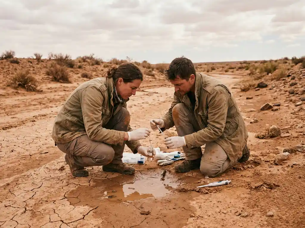
Yes, climate research can help predict the future of global water supplies, though with varying degrees of certainty depending on the timeframe and region. By combining atmospheric modeling, hydrological data, and satellite observations, scientists can project how precipitation patterns, glacial melt, and evaporation rates will shift over coming decades. The sections below unpack how this forecasting works, where the risks are greatest, and what governments and research organizations can do with these insights.
How does climate research model future water availability?
Climate research models future water availability by simulating the interactions between the atmosphere, land surface, and ocean systems to project how the global water cycle will change under different emissions scenarios. These models translate climate variables like temperature, precipitation, and evaporation into estimates of river flow, groundwater recharge, and reservoir levels at regional and local scales.
The core tools are General Circulation Models (GCMs) and Regional Climate Models (RCMs), which researchers downscale to produce hydrologically relevant outputs. When coupled with hydrological models, these systems can simulate how much freshwater will be available in a given basin under a warming atmosphere. Researchers typically run multiple scenarios, reflecting different levels of greenhouse gas concentration, to produce a range of plausible futures rather than a single prediction.
The key variables these models track include:
- Changes in seasonal precipitation patterns and intensity
- Accelerated glacial and snowpack melt affecting river baseflows
- Increased evapotranspiration driven by higher temperatures
- Shifts in monsoon timing and strength
- Groundwater recharge rates under altered rainfall regimes
This integrated approach to hydrological forecasting gives policymakers a science-based foundation for long-term water planning rather than relying solely on historical averages.
Which regions face the greatest water scarcity risks?
The regions facing the greatest water scarcity risks are those that already experience high demand relative to supply, combined with projected reductions in precipitation or accelerated glacial retreat. Sub-Saharan Africa, the Middle East and North Africa, South Asia, and parts of Central America and the Mediterranean basin are consistently identified as high-vulnerability zones in climate research assessments.
In South Asia and the Andes, communities heavily dependent on glacial meltwater for dry-season flows face a particularly acute long-term threat. As glaciers shrink, river flows may initially increase before declining sharply, a pattern sometimes called “peak water.” This creates a narrow window for adaptation before supplies become unreliable.
Meanwhile, semi-arid regions in sub-Saharan Africa face a compounding challenge: rising temperatures increase water demand for agriculture at the same time that rainfall becomes less predictable. In the Middle East and North Africa, where freshwater resources are already severely limited, even modest shifts in precipitation can have outsized consequences for food and drinking water security.
It is worth noting that water scarcity prediction is not solely about absolute rainfall totals. Population growth, land use change, and agricultural water demand all interact with climate projections to determine actual scarcity risk, which is why integrated assessments that combine climate and socioeconomic data are essential.
What data sources do researchers use to track water supply changes?
Researchers tracking changes in global water supplies draw on a combination of satellite remote sensing, ground-based monitoring networks, and reanalysis datasets. No single data source provides a complete picture, so robust water supply assessments typically integrate multiple streams of observational evidence.
The most widely used sources include:
- Satellite gravimetry (GRACE and GRACE-FO): These NASA missions detect subtle changes in Earth’s gravitational field caused by shifting water mass, allowing scientists to monitor groundwater depletion and ice sheet loss at a global scale.
- Remote sensing for surface water: Optical and radar satellites track river extents, lake levels, wetland coverage, and seasonal flooding patterns over time.
- Ground-based gauge networks: River gauges, rain gauges, and groundwater monitoring wells provide the in situ data needed to calibrate and validate satellite and model outputs.
- Climate reanalysis products: Datasets that blend historical observations with model outputs to reconstruct past climate conditions, providing a consistent long-term baseline.
- Glacier and snowpack monitoring: Field surveys and remote sensing track ice volume and snow water equivalent, critical inputs for forecasting river flows in glacially fed basins.
Data gaps remain a significant challenge, particularly in low-income regions where ground monitoring infrastructure is sparse. Strengthening observational networks in these areas is a priority for improving the accuracy of climate change water resources assessments globally.
How accurate are long-term water supply predictions?
Long-term water supply predictions are most reliable at broad spatial scales and over multi-decadal timeframes, and less reliable for specific localities or short-term windows. The direction of change, such as drying trends in already-arid regions, is often projected with reasonable confidence, but the precise magnitude and timing carry meaningful uncertainty.
Several factors limit prediction accuracy. Natural climate variability, like El Niño and La Niña cycles, can temporarily override longer-term trends and is difficult to predict beyond a few years. Model uncertainty compounds over longer timescales, and the choice of emissions scenario significantly affects outcomes. Socioeconomic factors, including how much water humans extract, how land is managed, and how infrastructure changes, add another layer of complexity that purely physical models do not fully capture.
That said, the scientific community has made substantial progress in ensemble modeling, where many model runs are combined to quantify uncertainty ranges rather than produce a single deterministic forecast. This approach gives decision-makers a clearer sense of the range of plausible outcomes and the probabilities associated with them. For water security planning purposes, understanding the range of risk is often more useful than seeking a precise single prediction.
How can governments use climate research to protect water security?
Governments can use climate research to protect water security by embedding hydrological projections into national water policy, infrastructure planning, and disaster risk management frameworks. The most effective approaches treat climate projections not as fixed forecasts but as risk-informing tools that guide investment priorities and regulatory decisions under uncertainty.
Practical applications include:
- Water infrastructure design: Updating engineering standards for dams, reservoirs, and irrigation systems to account for projected shifts in peak flow and drought frequency rather than relying solely on historical data.
- Integrated water resource management (IWRM): Coordinating land use, agriculture, and urban water policy using shared climate projections to avoid conflicting decisions across sectors.
- Early warning systems: Using seasonal climate forecasts to trigger drought preparedness measures or flood alerts before crises develop.
- Transboundary water diplomacy: Grounding negotiations over shared rivers and aquifers in jointly accepted climate projections to reduce political conflict over water allocation.
- Nature-based solutions: Restoring watersheds, wetlands, and floodplains to buffer against climate-driven variability in water supply and quality.
Achieving SDGs water targets, particularly SDG 6 on clean water and sanitation, requires governments to move from reactive crisis management to proactive, evidence-based planning. Climate research provides the evidence base that makes that shift possible.
What role do research organizations play in global water forecasting?
Research organizations play a central role in global water forecasting by developing the models, collecting the data, and translating scientific findings into actionable guidance for policymakers. They serve as the bridge between raw climate science and the practical decisions that governments, utilities, and communities need to make about water management.
Research and technology organizations (RTOs) contribute across the full chain of water forecasting work. Some specialize in developing and improving hydrological models, others focus on field data collection and monitoring network design, and others work on translating projections into policy-relevant risk assessments. Increasingly, cross-border collaboration between research institutions is essential because water systems do not respect national boundaries and the scientific capacity to address them is unevenly distributed globally.
International research networks amplify this work by enabling data sharing, coordinating methodologies across countries, and building capacity in regions where local research infrastructure is still developing. When research organizations collaborate across borders, the resulting forecasts are more robust, more comparable, and more useful for the international negotiations and agreements that govern shared water resources.
How WAITRO supports climate and water security research
Addressing the complex relationship between climate research and global water supplies requires sustained collaboration between research institutions, governments, and international bodies. This is precisely where we at WAITRO play a concrete role. Through our global network of over 135 Full Members and 45 Associate Members, we connect research and technology organizations working on water, climate, and sustainability challenges across regions.
We support this work through a range of programs and services, including:
- Institutional capacity building for research organizations in water-stressed regions, helping them develop the technical expertise and infrastructure needed to contribute to hydrological forecasting and climate adaptation research.
- Cross-border partnership facilitation, connecting RTOs, universities, and government bodies to collaborate on shared water and climate challenges that no single institution can address alone.
- Knowledge sharing platforms that bring together members to exchange methodologies, datasets, and policy insights relevant to water security and the SDGs.
- Innovation pathways that help research findings move from the lab into real-world policy and infrastructure applications.
If your organization is working on climate resilience, water security, or sustainable development and wants to amplify its impact through international collaboration, we invite you to join the WAITRO network or reach out to explore partnership opportunities.
